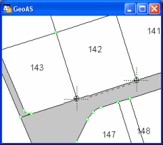
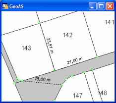
Drawing measurement lines to a real layer
|
•The measurement lines are stored in the layer MapCAD_Dimensioning. •To delete a measurement line, make the layer MapCAD_Dimensioning editable, select the line, and then delete it. |

1.Select the Dimension Line function.
2.Digitize a 2-point measurement line