GPS Receiver
 The GeoTracker is based on the Windows Geolocation API, which in turn is based on the Sensor API. With an internal GPS receiver (tablet), the necessary hardware drivers are usually already installed in Windows 10.
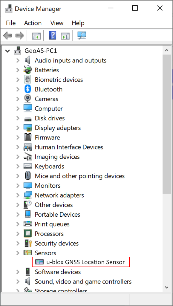
An external GPS receiver that is to be connected via USB requires a device-specific driver for Windows location support for the Windows Sensor and Location Platform (W3C Geolocation API specification) from the device manufacturer. After the installation, the driver appears in the Device Manager as a sensor. A USB device driver is not enough.
If several GPS signals are identified, the signal is selected automatically via a GeoCoordinateWatcher.
The GeoCoordinateWatcher class supplies coordinate-based location data from the current location provider. The current location provider is prioritized as the highest on the computer, based on a number of factors, such as the age and accuracy of the data from all providers, the accuracy requested by location applications, and the power consumption and performance impact associated with the location provider.
The current location provider might change over time, for instance, when a GPS device loses its satellite signal indoors and a Wi-Fi triangulation provider becomes the most accurate provider on the computer.
Detailed information on the GeoCoordinateWatcher can be found in the documentation Microsoft - GeoCoordinateWatcher.
Projection / coordinate system
The Windows Geolocation API provides coordinates as longitude, latitude and height in WGS84 (EPSG: 4326).
The precision of the coordinate system can be influenced in MapInfo Pro. In the standard case, MapInfo works with an accuracy of 0.000001 degrees, i.e. approx. 10 cm, because of the large boundaries. The precision can be increased accordingly by reducing the size of the boundaries. More information is available in the MapInfo Help.
see also GeoTracker User Interface
see also Example GPS-Sensor Device